COP27 Dispatch: What Defines a Successful National Adaptation Plan?
New research explores ways to measure countries' success in adapting to climate change.
Experts from the University of Pennsylvania are on the ground at COP27 in Sharm El-Sheikh, Egypt. In this special series from Energy Policy Now, they share their observations from the global climate conference and insights into key issues under negotiation.
Allison Lassiter of the University of Pennsylvania’s Weitzman School of Design discusses the role of National Adaptation Plans (NAPs) in the Paris Climate process and research that seeks to measure the success of national efforts to address climate risk.
Andy Stone: Welcome to the Energy Policy Now podcast from the Kleinman Center for Energy Policy at the University of Pennsylvania, and recorded from COP27 in Sharm El Sheikh, Egypt. Over the two weeks of COP, I’ll be holding short conversations with experts from the University of Pennsylvania on a number of priority issues that are being discussed at this year’s Global Climate Change Conference. In this episode, I’ll be speaking with Allison Lassiter, an Assistant Professor in City and Regional Planning at the University of Pennsylvania. Her research focuses on adapting water systems to climate change and measuring the impacts of sustainability policies. We’ll be talking about national adaptation plans and the challenge of measuring successful climate adaptation. Allison, welcome to Sharm El Sheikh, and welcome to the podcast.
Allison Lassiter: Thanks so much for having me.
Stone: You just got in last night, right? How are you doing?
Lassiter: Yes, doing okay. It’s always really energizing and exciting to be at COP, and also kind of overwhelming and confusing.
Stone: Yes, I totally agree on this side, absolutely. So we’re going to be talking about National Adaptation Plans. To get us started, for those who don’t know — and I’m sure there are many, and that’s okay — what is a NAP or a National Adaptation Plan?
Lassiter: So NAPs were established under the Cancun Adaptation Framework in 2010. They’re kind of a long-standing program, relative to some of the other programs around here. So they pre-dated the Paris Agreement. And what it is, is the plan that every country is supposed to come up with. It’s optional. It looks towards medium or long-term adaptation needs. The objective was to move from ad hoc programs that countries were putting in place to address climate adaptation into more strategic or systemic approaches to adaptation, coordinated at the national level.
Stone: So what is adaptation exactly?
Lassiter: Well, that’s the million-dollar question right now. There’s not a defined way or clear way to measure adaptation. And actually now, in the context of the Paris Agreement, there’s kind of a new wave of discussion on adaptation. So there’s something called the Global Goal in Adaptation that people are talking about intensely right now. And under the Paris Agreement, there are three branches. There’s mitigation, so people making their NDC, National Determined Contribution commitments. And then there are financial commitments. And then the sort of missing piece of the puzzle is the adaptation commitments.
So next year’s global stock-take, which is when we start to measure the success or the implementation of the Paris Agreement, one of the objectives is to begin to measure adaptation, that’s this Global Goal in Adaptation. There’s not an agreed-upon thing to measure within adaptation, so people are discussing right now how we should go about measuring adaptation.
Stone: What’s interesting because for mitigation, which you just mentioned, performance is measured against the 1.5 degree target ceiling for warming. It’s the goal of the Paris Agreement, so each country has its own Nationally Determined Contribution, NDC, and the measurement is, “Okay, does that NDC get us on a path to doing our part to being 1.5 degrees or less of warming?” But again, you’re saying that for adaptation, there’s nothing nearly as defined as that?
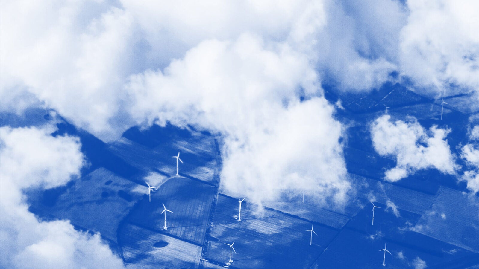
Lassiter: No, not at all. So one of the things that I’ve been working on with a team of people — We are funded by the UNGO, that’s a group on Earth observations in Microsoft. They have something called the Planetary Computer Program. Microsoft has a bunch of UNGO data, so globally-sensed datasets, that they allow researchers to access. It’s sort of like a Google Earth-type of environment.
So we’ve been thinking about if there are ways that we can measure adaptation from these remotely-sensed data products. So let me contrast that to how adaptation is measured now. Right now, for countries that have submitted a National Adaptation Plan or NAP, you would ask them, “Are you adapting to climate change?” And they might say. “Yes.” That’s the only real way. It’s self-reporting.
Sometimes you can check the success of individual projects, and people focus on that, but there’s this ongoing question of do individual projects sum to adaptation? And so we’re sort of stuck there. My team has been focusing on these National Adaptation Plans and looking at ways of measuring success in National Adaptation Plans through remotely-sensed or passively-sensed data products.
One of the nice things about focusing on NAPs, it’s a long-standing program, and there are countries that have them in place, but this conversation will feed into the conversation on the global goal of adaptation. So we’re working on thinking about measuring adaptation in the context of NAPs, but hopefully there are some lessons that can be exported to the Global Goal on Adaptation — GGA.
One of the things that we’re wondering is if we can look at these remotely-sensed data products, like aerial imagery or maybe temperature, precipitation, water coverage, something like flood extents, and start to say, “Is a country adapting to climate change?” It’s tough, though, because not all adaptation is physical adaptation or something that you would observe in biophysical data products.
So there’s a second side to it, too, which is can we see how well people are being taken care of? And then also biodiversity, I suppose. So we can think about how we might develop some indicators that relate to biophysical aspects of adaptation, and then also maybe human well-being aspects of adaptation. We’re focusing in on Malawi, one of the least developed countries of the world, the LDCs. And the LDCs are specifically targeted with the hope that they will submit NAPs, because it helps with access to global financing.
So Malawi is currently working on their NAP, and we are thinking about if there are ways we can track the progress of the NAP. One of the things we’re bumping into is not all adaptation projects — they might be small projects — are visible in global-scale data products. So how do we kind of rationalize these two scales of action? So we’re working on that.
Stone: As you pointed out, you talked about Malawi and many other countries. Obviously every country has to adapt in its own way, and that adds to the complexity, right? Adaptation has a different meaning, depending on where you are — different for a low-lying, coastal country or an island state, versus one that may be landlocked — or many other variables, right?
Lassiter: Absolutely, and I think this is what people would say that believe that there’s not a standardized way to measure adaptation, is that it has to be locally specific, and it has to respond to local environmental conditions and also social structures. So there is some difficulty in figuring out a homogenous set of rules. And I think one of our objectives would be to fully embrace that and then say, “Well, okay, we can’t maybe figure out some prescriptive way to measure adaptation everywhere, but perhaps there are some baseline indicators that we can track. So what can we do with these global data products, and what can we not do? And just admit that we can’t do everything, and sort of draw the line and come up with something.
Stone: So at this point, is there a way of telling when a National Adaptation Plan has been successfully implemented?
Lassiter: No. And most NAPs — there are maybe a few countries that are exceptions. So there are fifty Least Developed Countries, LDCs, that are strongly urged to submit NAPs. And about thirty or so have done so — maybe a little less. And then there are some other countries that have also submitted NAPs. Thus far, most have submitted one NAP and not successive NAPs, so it would be hard to track any change between the NAPs. And most have not set up monitoring for the successive programs under NAPs. So there are still some gaps to fill in there.
Stone: A final question for you here: What are some of the specific indicators you’re looking at measuring when you’re looking at the progress on NAPs?
Lassiter: Yes, so we’ve been focusing on Malawi, which is very agricultural. The idea is to come up with a set of indicators that works okay for Malawi, and then try to test that in other countries, so scale the product after Malawi. We’ll see how that goes. And we’ve come up with some indicators that relate to ecological health, and then others that relate to human well-being. And one of the big challenges is that not everything we want to measure has data available for it.
So right now we’re kind of thinking about how we can match the available data with adaptation objectives. For example, one of the things that we’re thinking about measuring is surface water area. So it would be bad if we saw lakes that were shrinking a lot in area, maybe because of drying trends, maybe because people are diverting water from the lake. And then it would also be bad if we saw lakes that were expanding a lot in areas. This would be because of flooding. We have places in Malawi that we’re focusing on that have huge area changes, and part of that is because of extreme events. And part of that is because of water management locally. So surface water area could be a measure we could conceivably track from remotely-sensed data products.
Another thing we can track is surface water greening. So it’s a bad thing if waters are eutrophying. That’s bad for fish habitat. So we can look at the spectral composition of pixels in an aerial image, and we can look at greening trends over time. So the combined measure of surface water area and surface water greening might give us a sense of something that’s going on with surface water health, which relates to a lot of other systems. So that’s probably a good thing to measure.
But in contrast, we would want to measure ideally biodiversity indicators, but in Malawi, there’s not a lot of great time series data on just what animals or fish or biodiversity you want to track is doing over time. So you sort of have to come at it through the back door, with some of these water indicators that might be easier for us to measure.
Then we also have some human well-being indicators that we’ve started to think about. So this one we can’t really access from aerial imagery, so we have to rely on survey data. And one of the advantages we have is that across Africa there’s a popular survey called “Afrobarometer” that a lot of people use to gauge a lot of sort of social and governance indicators. So we can draw some data from that, but that survey doesn’t exist everywhere in the world, so we’ll have to see to what extent we can rely on that, to come up with maybe more scalable metrics for adaptation.
For example, metrics that we would maybe want to pull from that include things like hunger months, so how many months per year are people going hungry? Heat-related deaths. The number of hospital visits. Birth weight. Or maybe things like electricity access in households, and maybe things like people that rely on disaster relief, or estimated household income, or things like government trust. How much trust do people have in their government? So these are things that are pulled primarily out of survey data.
Stone: Allison, thanks very much for talking.
Lassiter: Thank you for having me.
Stone: Thanks for listening to this special episode of the Energy Policy Now podcast recorded at COP27 in Sharm El Sheikh, Egypt. Check out Energy Policy Now on the Kleinman Center website, on Apple Podcasts, Spotify, or wherever you get your podcasts. To keep up with research and events from the Kleinman Center, visit our website.
Thanks for listening to Energy Policy Now, and have a great day.

Allison Lassiter
Assistant Professor, City and Regional PlanningAllison Lassiter is an assistant professor of city and regional planning at the Weitzman School of Design. Her work examines opportunities to use landscape infrastructure and emerging technologies to build resilience and increase adaptive capacity.

Andy Stone
Energy Policy Now Host and ProducerAndy Stone is producer and host of Energy Policy Now, the Kleinman Center’s podcast series. He previously worked in business planning with PJM Interconnection and was a senior energy reporter at Forbes Magazine.