Big Data Applications to Energy and Climate Policy
Data science is a rapidly growing field and with the data acquisition on climate and energy crises becoming increasingly abundant, understanding how to interpret and effectively utilize this data to address these issues is crucial.
We have been collecting data on climate since the mid-1600s, with early thermometer and barometer readings. Since then, the amount of data we collect from our environment has increased exponentially, and we have even started to gather climate data on geological time scales by studying paleoclimatic records in trees, sediments, corals, and ice cores. We also have immense data from complex, numerical climate models, which help us understand our current climate and predict future changes.
Collectively, the amount of climate data available can seem intimidating and convoluted, with tens to hundreds of petabytes available and constantly increasing. Understanding how to utilize this data is necessary and may be one of our most important tools in combating climate change, addressing the energy crisis, and creating smart policies to protect our world.
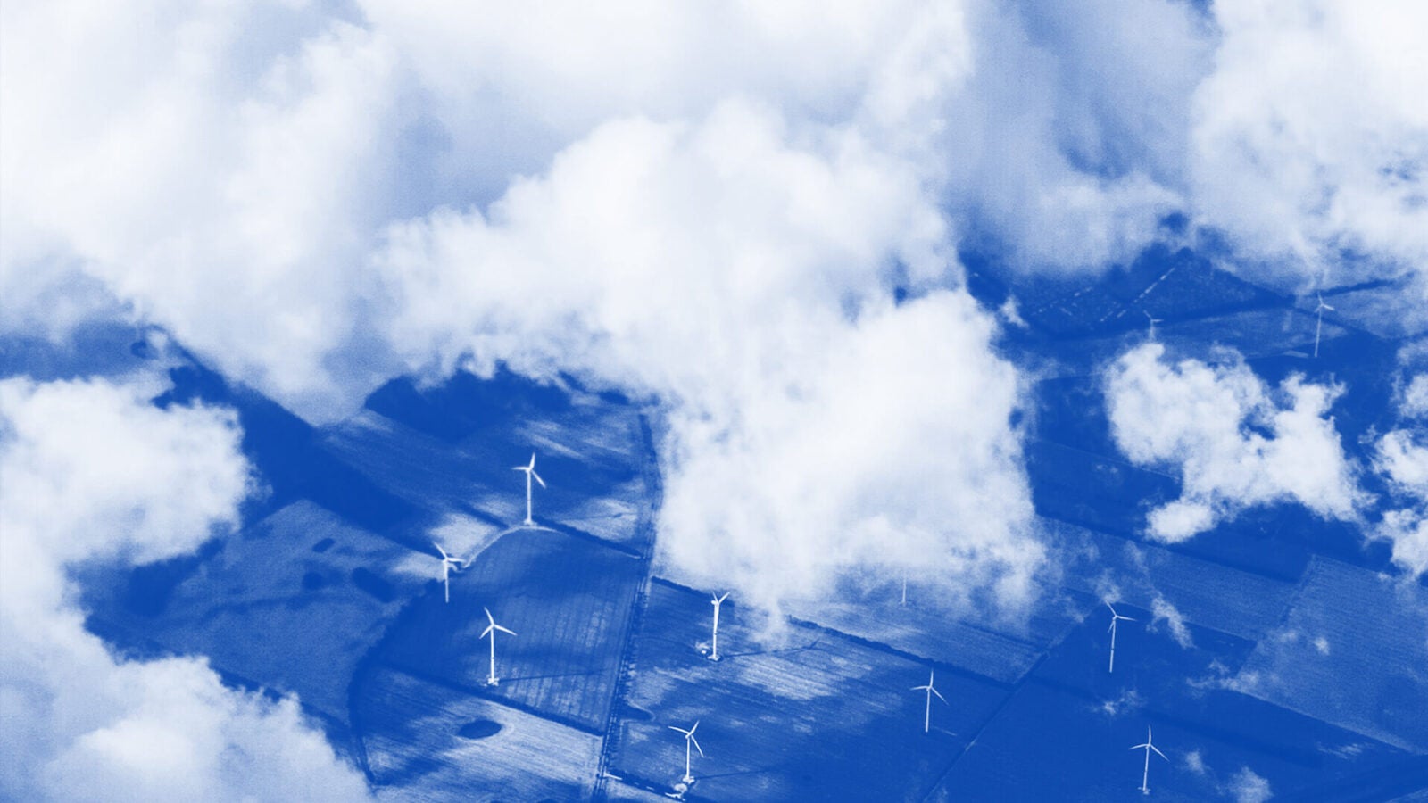
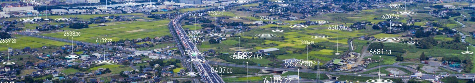
The modern use of satellites has increased our ability to quickly collect large amounts of data and obtain high-quality images of the Earth. One major modern application of satellite data is in controlling methane emissions. While methane is present in much smaller amounts than carbon dioxide in our atmosphere, it is over 20 times more potent a greenhouse gas as carbon dioxide, making effective controls over methane emissions essential in limiting global warming.
In the past, ground-level data collection of atmospheric methane has been incomplete due to limitations in geographic areas studied and the number of samples that can be taken. The first satellite able to measure atmospheric methane was the Japanese Greenhouse Gas Observing Satellite (GOSAT). In 2017, the launch of the European TROPOspheric Monitoring Instrument allowed for even higher-resolution data collection.
These satellites allowed for higher resolution and broader geographical regions. In particular, the high resolution of the TROPOspheric Monitoring Instrument (TROPOMI) has allowed for the detection of methane super-emitters, which are responsible for disproportionately large fractions of methane emissions. Super-emitters, such as malfunctioning natural gas flaring systems or leaky mines, are often highly concentrated sources of methane. The ability to identify and contain unnecessary leakage of methane into the atmosphere could be critical in reaching goals set by the Paris Climate Agreement in 2015.
NASA recently launched another instrument to monitor volatile organic carbon (VOC) compounds released by the oil and gas industries. Known as the Tropospheric Emissions: Monitoring of Pollution (TEMPO), it is attached to a telecommunications satellite, Intelsat 40e, which can collect hourly data across the continent, measuring ozone, nitrogen dioxide, and other particulate organic matter known to cause respiratory diseases. The combination of various satellite instrumentation measuring these environmental pollutants will allow for comprehensive monitoring of atmospheric conditions and pollution, which will support the creation of better policies limiting emissions of all greenhouse gasses and harmful pollutants.
It is important to note that satellite instruments such as TROPOMI and TEMPO often produce large and complex data sets, which can be challenging to interpret. The use of large-scale data analysis programs, artificial intelligence, and machine learning programs is necessary to make the most of the data available. For example, a study by Schuit et. al designed a machine-learning model that detects plume-like structures in methane data and uses mathematical methods to distinguish possible methane plumes from retrieval artifacts. Utilization of data science tools allows for faster identification of pollution sources so that remediation can be addressed quickly,minimizing environmental damage.
Utilizing satellite data to understand methane emissions will enable us to tackle needless and harmful methane emissions. To most effectively exploit these large data sources, it is necessary that they are readily available to the public, encouraging not only government organizations, but also academics, corporations, and private citizens to understand emissions that are occurring and quickly take steps to minimize damage. Concurrently, policies encouraging the development of educational programs that empower community leaders and concerned citizens to interpret this data are important in harnessing its full potential to stop pollution and methane emissions at all levels.
With a framework to employ this data to rapidly identify problematic emissions, it is essential to craft management strategies and policies that allow for rapid action and repair of methane leaks. Additionally, real-time data analysis via a regulating agency should be used to enforce stronger standards and penalties against methane emissions and encourage industry and mining companies to be more vigilant of methane emissions. Cracking down on methane emissions utilizing big data will be crucial in mitigating the climate crisis and more broadly incorporating environmental data analysis into standard operations will help us create a safer, more sustainable future.

Lillian Miller
Undergraduate Seminar FellowLillian Miller is an undergraduate student studying Chemistry and Earth and Environmental Sciences in the Vagelos Molecular Life Sciences program. Miller is also a 2024 Undergraduate Student Fellow.